-40%
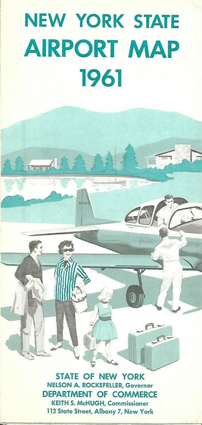
1961 NEW YORK STATE AIRPORTS MAP Heliports Seaplane Bases Flying Farmer Fields
$ 6.85
- Description
- Size Guide
Description
Large-format fold-out 1961 New York State Airport Map, printed more than 59 years ago.This map opens to a generous 29" x 32" and locates commercial and non-commercial, personal use, flying farmer, and military airports, as well as seaplane bases and heliports.
On the reverse side there's a detailed directory of airports, with locations, facilities, and runway lengths, organized alphabetically by community name.
The map was published in 1961 by the State of New York Department of Commerce and is dated on the cover.
Condition:
It is in
excellent condition,
bright and clean, with
no
marks, rips, or tears. Please see the scans and feel free to ask any questions.
Buy with confidence! We are always happy to combine shipping on the purchase of multiple items — just make sure to pay for everything at one time, not individually.
Powered by SixBit's eCommerce Solution
